The 3 Best Hunting Map Apps for Your Next Hunt
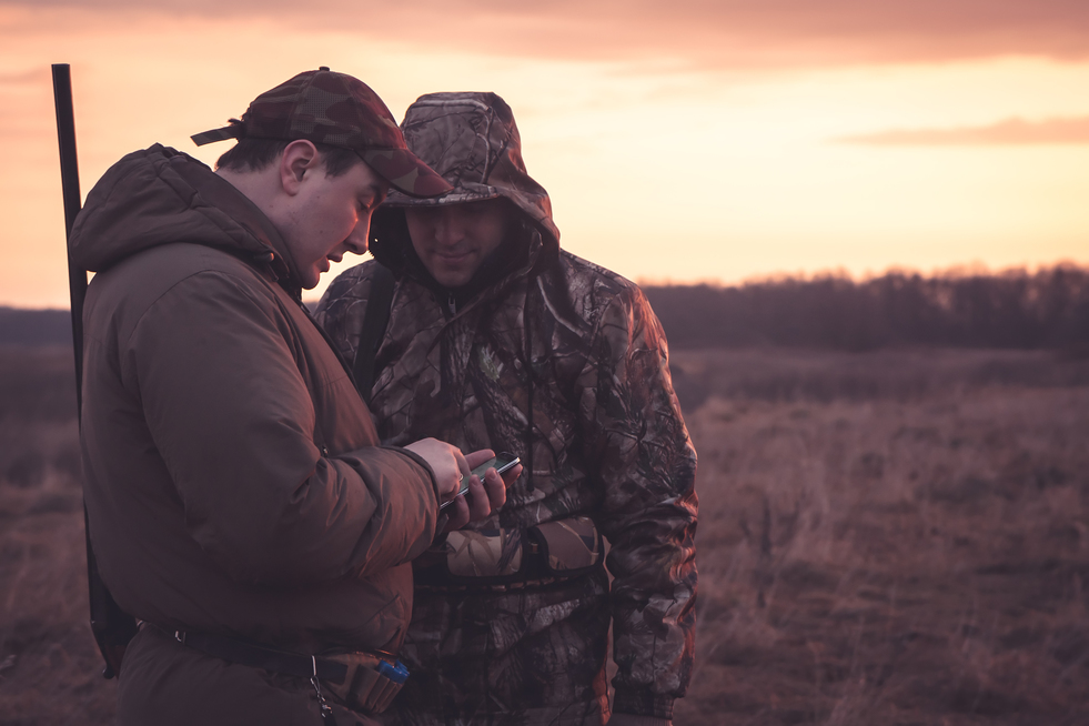
Enjoying the great outdoors is one of the best ways to unplug. Although you may try to disconnect from technology while on your hunts, hunting map apps will take your hunt to the next level. After all, advancements in technology have shown to be some of the greatest assets to navigate the wild!
There are plenty of apps on the market that claim to be the best hunting map app. We previously featured the best hunting and fishing apps for 2020, now we are setting our sights on the 3 best hunting map apps.
- onX Hunt
onX Hunt includes 985 million acres and 400,000 miles of trails created by hunters, for hunters. There is a free 7-day trial available for Premium membership that costs $29.99 annually. Their Elite membership costs $99.99 annually. The interface is compatible with iOS, Android and web.
Key features:
- hybrid maps: hi-res aerial imagery with topographical maps
- multi-layer functionality: 421 base map overlays
- private and public land segmentation for all 50 states
- custom waypoints plotting
- landowner contact information
- location sharing and distance tracking
- offline map access
- distance/acreage measurement
- HuntStand
HuntStand is the best hunting map app for hunters who want to collaborate with a community of like-minded hunting enthusiasts. A unique feature of this app is the ability to produce high-quality map prints (at an additional cost). HuntStand is free to use, but the majority of features are available in the HuntStandPro version that costs $24.99 annually. The interface is compatible with iOS, Android and web.
Key features:
- Build-your-own: custom area mapping with 45 markers
- wind map technology: scent spread and waterfowl landing sites
- social networking: field friend locator, share maps and harvest info
- tree cover and vegetation map
- natural atlas layer: campgrounds, access areas, natural points of interest
- weather forecasting/solunar calendar
- nationwide database: public and private land boundaries
- offline map access
- distance/acreage measurement
- HuntWise
Huntwise positions their technology as a toolset rather than an application. The app is also a social directory for hunters who want to ask questions and share gear. There is a free version available for land management and forecasting. Advanced features are available in the Pro version that costs $49.99 annually. The interface is compatible with iOS and Android.
Key features:
- custom waypoints plotting
- advanced weather data/solunar calendar
- animated wind mapping/stand comparison
- landowner search function/contact information
- public and private land boundaries
- log your hunts
- offline map access
These state-of-the-art apps will give you added insight and confidence during your next solo or group hunt. Save time and resources discovering new hunting grounds or rediscovering your local area.
CastnBlast Advisor is your trusted site for current reviews of guides and outfitters and a great resource for planning your next fishing or hunting adventure. Join our community of anglers and hunters today.